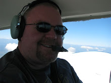
My buddy, Barry, and I flew down to Jacksonville for lunch. We had a taste for Chipotle and that is the closest city. :-)
Barry flew the leg down and I flew back. Check out the flight below. I used Everytrail...an application on my iPhone that can track our flight and also allows me to shoot photos. The program geo-tags the location the photos were taken and you can see our course plot on the map.
Enjoy and I hope everyone is having a great New Year!
Captain Tedward
HXD-VQQ-CRG
Map your trip with EveryTrail

1 comments:
This is really cool!
Post a Comment